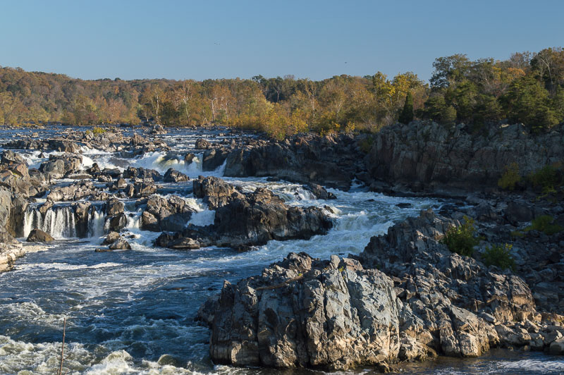
sunrise on Great Falls; November 2014
As you may recall, the Potomac Gorge is the 15-mile long section of river in the Fall Zone, the transition area from the metamorphic rocks of the Piedmont physiographic region to the unconsolidated sediments of the Coastal Plain, starting at Great Falls and ending at Roosevelt Island.
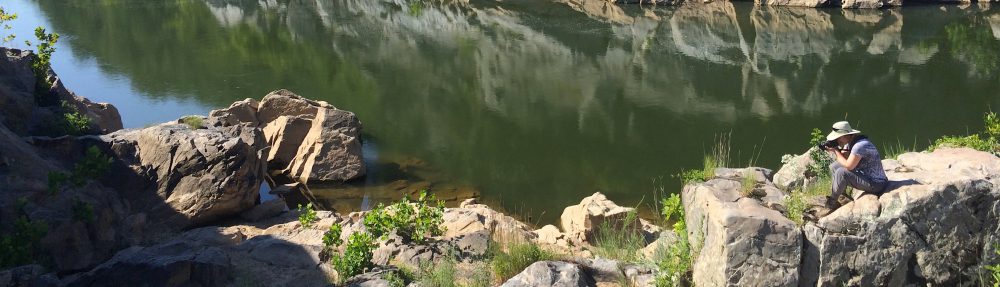
the river near Hermit Island; July 2015
For several years I’ve been concentrating on the area between Sherwin Island at the lower end of the falls and Rock Run, just upstream of the American Legion Bridge, with the occasional detour south as far as Brookmont or north to the start of the falls.

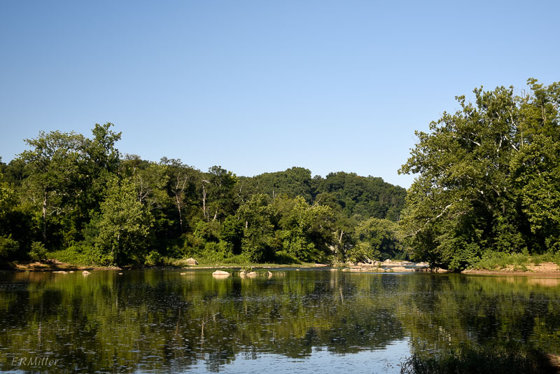
view upstream from one of the bedrock terraces near Rock Run; August 2015

pond within a bedrock terrace, about 15 feet above river level when this photo was taken; July 2015
But while the warm weather lasts I’m going to be exploring the lower Gorge by kayak. With a real camera this time: I rigged up a way to keep the D3200 dry. Now that I have decent pictures expect to see posts about some different wildflowers.

view upstream from the lower Gorge (Fletcher’s Cove is around the bend); August 2015

osprey (Pandion haliaetus) near Chain Bridge; August 2015
And perhaps the occasional bird. (On two outings, I’ve seen four ospreys, two bald eagles, one double-crested cormorant, several great blue herons, and more mallards than you can shake a stick at).

kayaker, Washington Monument, and airplane (the little dot in the upper right); colors aren’t so vivid when you’re shooting into the sun; August 2015
