We haven’t had a hard freeze here in the Piedmont yet this season, but what with the drought and cooler weather and shorter days, the wildflowers are just about done for the season. Normally this is when I put my blog to bed for the winter, but this season I’m going to try to keep it going by writing about related subjects. And it occurred to me that I mention the Piedmont a lot, but have never really explained what the Piedmont is. So here’s a little primer.
Maryland is a complicated state, geologically speaking. From west to east, it measures about 250 miles, and includes five physiographic provinces. (A “physiographic province” is an area of similar landforms.) The combination of underlying rock formations, elevation, and climate gives each province its own character.
The westernmost of these is the Appalachian Plateau, in Garret County and the western quarter of Allegany County. It consists of folded strata of sedimentary rocks. Maryland’s highest point is here: 3,360 feet at Backbone Mountain.
To the east of that is the Ridge and Valley province, in Allegany and Washington Counties. It also consists of folded sedimentary rock. Here, though, differing resistance to erosion has allowed the formation of long ridges and valleys, including the very wide Great Valley section, which ends on the east with the next province, the narrow Blue Ridge in the easternmost part of Washington County and the western third of Frederick County. The Blue Ridge is one big anticline (with sub-folds) of metamorphic rock. The mountain tops are largely quartzite, highly resistant to erosion.
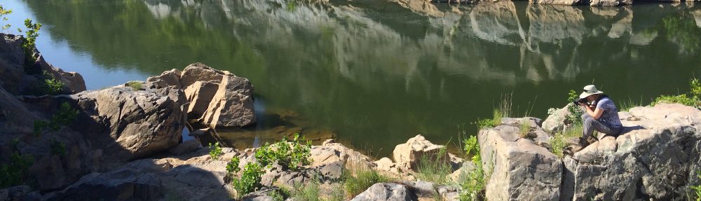
Continuing east, the next province is the Piedmont, an area of hills and valleys underlain by complex folds and domes of metamorphic and some igneous rock. The Piedmont is in Frederick, Montgomery, Carroll, Howard, Baltimore, Harford, and Cecil Counties.
The Piedmont is bounded to the east by the Fall Line, where the metamorphic rock gives way to the unconsolidated sediments of the Coastal Plain. That’s right, the Coastal Plain isn’t really rock, it’s just sand and gravel that’s been carried downstream and deposited. In Ocean City the sediment layer is 8,000 feet thick!
Fall lines define geological boundaries between uplands and lowlands, and are characterized by waterfalls. Sometimes the areas will be referred to as fall zones, when the transition is not as dramatic and more likely to be characterized by rapids than waterfalls. Think of Great Falls, which is not a single plunge over a cliff, but rather a series of falls (none more than 20 feet tall) totaling a 76 foot drop in elevation over two thirds of a mile.
Historically, seagoing vessels could travel no farther west than the fall zone, and that’s why cities were established there: Philadelphia, Wilmington, Baltimore, Washington DC, Richmond, Raleigh, and so on. Interstate 95 runs mostly just to the east of the fall zone.
Botanically, the Piedmont (“foot of the mountain”) is a really neat place. Plants don’t always recognize physiographic province boundaries. Some species are very particular in their growing conditions and will only be found in specific places, while others are generalists and can be found everywhere. In the eastern Piedmont you’ll sometimes find plants that are mostly limited to the Coastal Plain, and in the western Piedmont you’ll sometimes find plants from the Blue Ridge. There’s a lot of floral diversity in the Piedmont.
