
first glimpse: approach to Vágar
Føroyar (literally, “sheep islands”) is a group of small islands, about 18 depending on how you count them, and not including islets and sea stacks, lying northeast of the Shetland Islands, roughly halfway between Norway and Iceland. This self-governing region within the kingdom of Denmark has been continuously inhabited since about AD 800.
Steve and I spent a few days there last month. We keep getting asked, “why?”

the sod-roofed church at Saksun, Streymoy
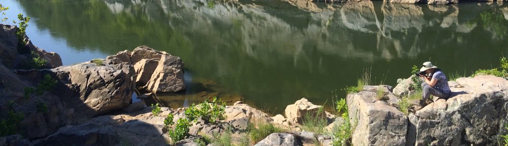
Lots of reasons. I’m aesthetically drawn to sparseness and desolation. I love the flora of the subarctic regions. I like visiting places that are off the beaten path, especially places that don’t suffer from American cultural imperialism. I don’t like crowds of people and I don’t like areas that are developed for tourists. And of course I love spectacular natural areas.
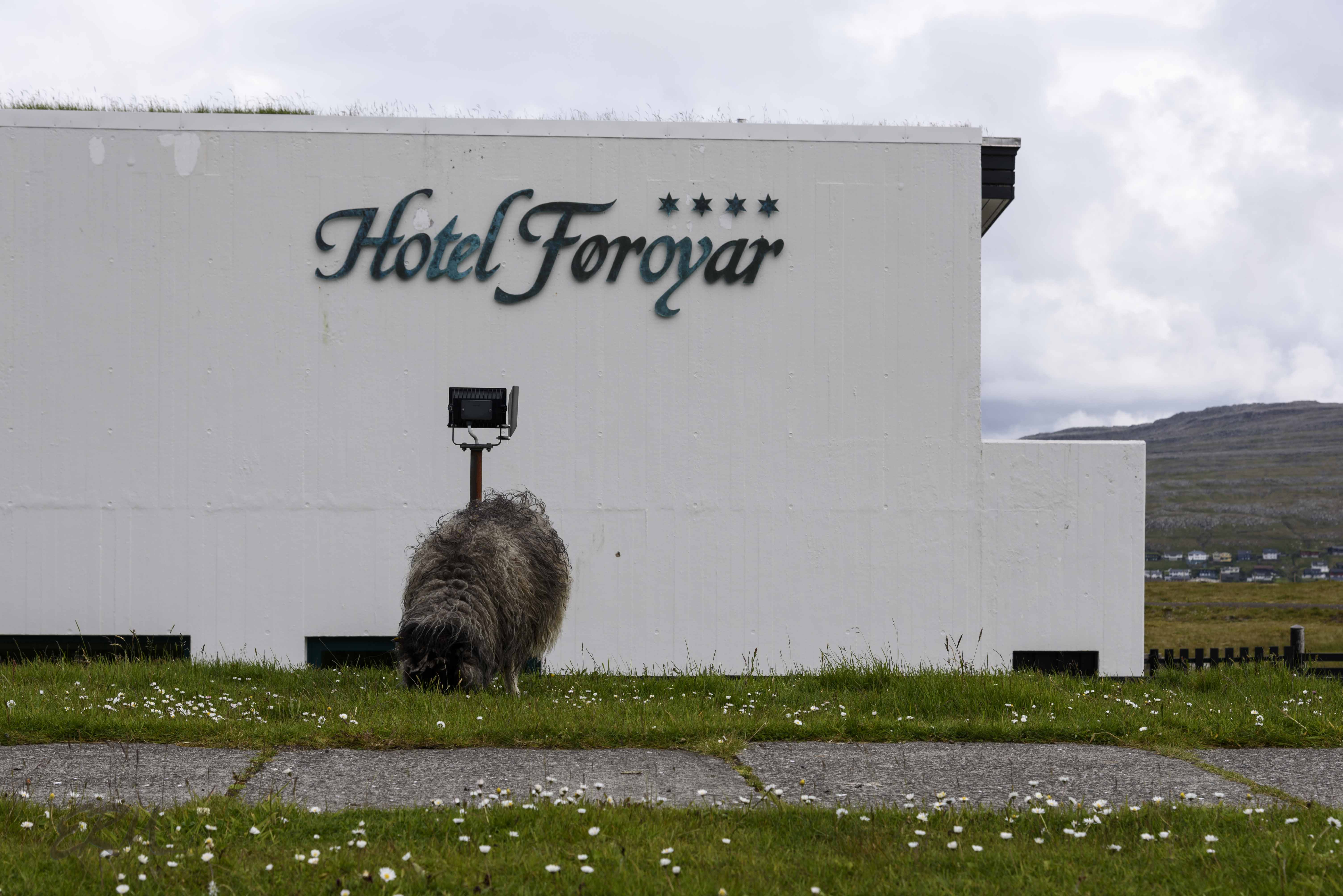
the sheep are just about everywhere
It had been on my mind for awhile, but I made the decision to actually go when I found out about Sheep View 360, one woman’s response to Google Maps’ refusal to provide street views for the Faroes.
I love a wacky sense of humor.
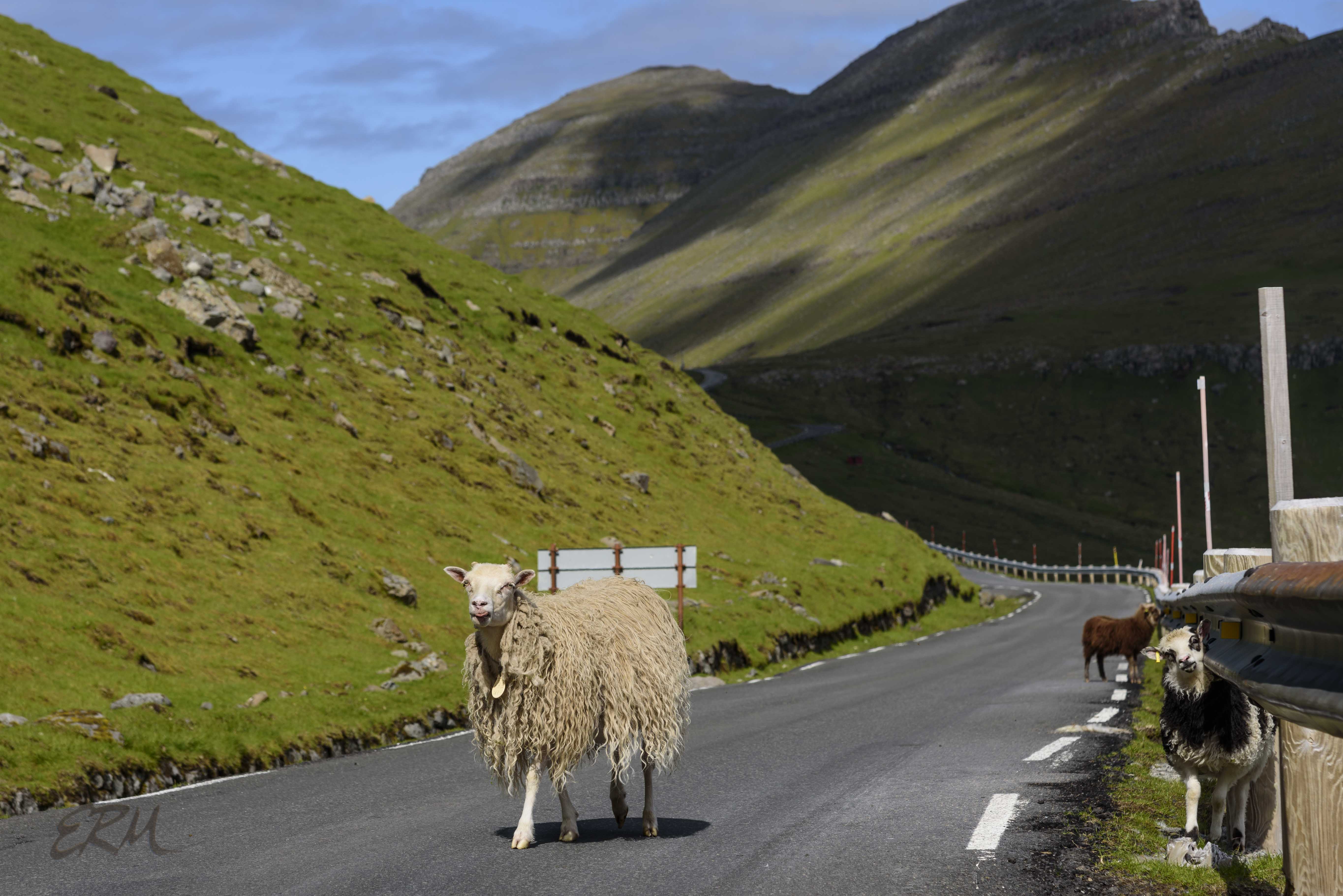
no, really, they are everywhere
The islands were formed by several sets of volcanic eruptions, and later carved by glaciers. They are rugged and sparsely vegetated (thanks to the sheep), with no trees except where people have planted and fenced them in. The weather is stormy, with rain and wind, and lots of it, but it never gets hot or too cold. The resulting landscapes are dramatically beautiful. Read about the geology here.

traversing Slættaratindur, the tallest mountain at 880 meters, on the island of Eysturoy
It’s a hiker’s paradise, so long as you don’t mind elevation changes: pretty much everything is either up or down. It’s a birder’s paradise, too. As for botanizing, well, that proved tricky. More on that, and other things Faroese, in posts to come.
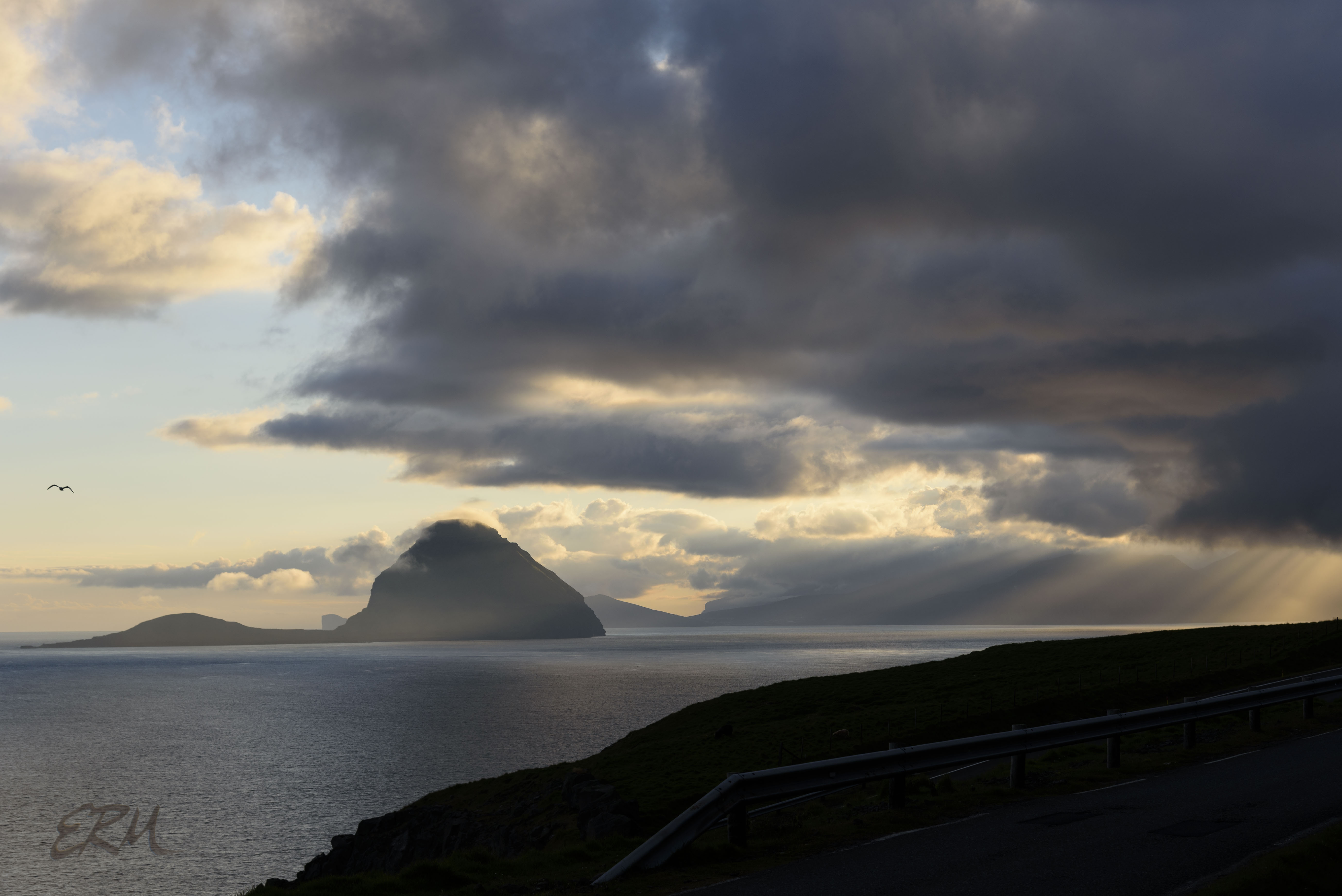
sunset near Kirkjubøur, Streymoy, looking toward the island Koltur
